

Providing mixed-method, multidisciplinary field and lab research experiences for SIUE students is a top priority of the McCarragher Biogeography Research Group. We address a variety of real-world questions related to human-environment interactions, socio-ecological impact, and the conservation of biodiversity.
I work hard to create a supportive, inclusive, interesting, and beneficial research environment for curious, enthusiastic, driven, innovative, and collaborative students. So, if any of the following topics, current projects, and/or student opportunities interest you, feel free to contact me for more details.
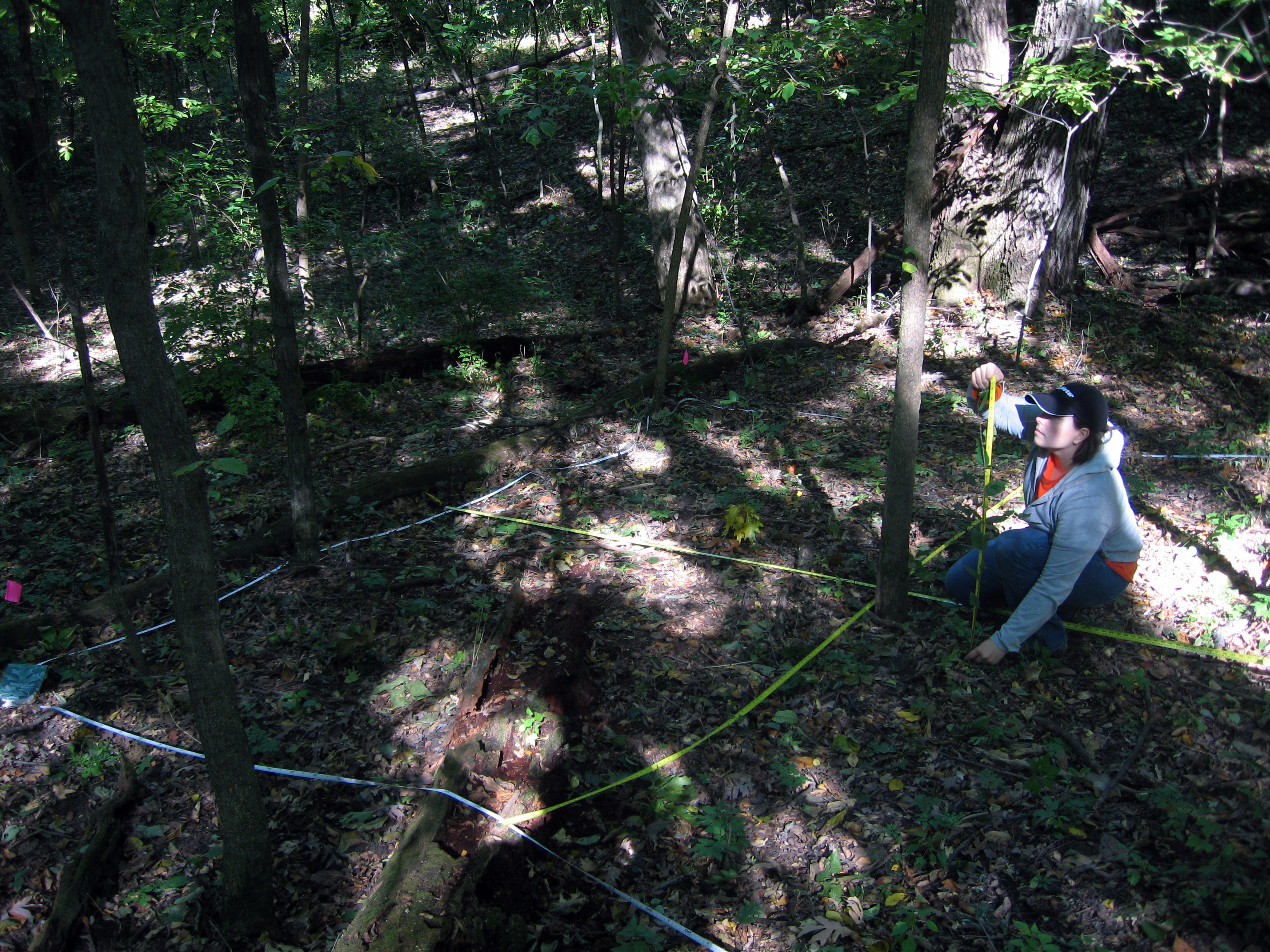
Current Projects AND Student Research Opportunities:
One way students can get involved in research is through the SIUE URCA program.
Status of URCA positions in the McCarragher Biogeography Research Group are summarized below:
- Fall 2021 URCA Research Assistant positions are filled.
- Spring 2022 URCA Research Assistant positions are filled.
- Fall 2022 URCA Research Assistant positions are filled.
- Spring 2023 URCA Research Assistant positions are filled.
- Fall 2023 URCA Research Assistant positions are filled.
- Spring 2024 URCA Research Assistant positions are filled.
- No Fall 2024 positions available.
- Spring 2025 URCA Research Assistant positions are filled.
- Fall 2025 URCA Research Assistant positions are filled.
- Keep an eye out for future URCA Research Assistant positions: https://www.siue.edu/urca/assistantapplicationpage.shtml – to apply, scroll down to find ‘Geography’ then click ‘Apply Now!’ in the row for ‘Shannon McCarragher.’
If selected as an URCA Assistant, students can opt to work on any of the following research projects (customized to the student’s interests):
- Understanding microclimate variability, biodiversity, and usage patterns along urban greenways (and other urban greenspaces) in cities of various sizes.
- Example projects include:
- 1) Measure the variability of urban heat and identify extreme temperature zones;
- 2) Compare locally collected data to remotely sensed data to assess reliability, benefits, and challenges;
- 3) Identify areas in need of enhanced heat refuge amenities and infrastructure gaps based on user activity and microclimate data along greenway networks;
- 4) Assess the impact of urban land use on decomposition rates and biodiversity;
- 5) Quantify habitat connectivity of urban greenspace and assess quality and accessibility;
- AND MORE! There are plenty of other topics that fit within this overarching exploration of urban greenspaces.
- Learn more about this research and see preliminary results from past projects at the Urban Greenspace Research Collaborative.
- The broader goals of this research are to develop an evidence-based, comprehensive framework for assessing:
- Urban biodiversity,
- Urban habitat connectivity,
- Impact of urban greenspaces on the built/natural environment, and
- Role of greenways in city sustainability and resilience.
- Example projects include:
- Interdisciplinary investigations of unique large closed topographic depression features located throughout the clastic caprock of the Cumberland Plateau in TN and on the Mormon Mesa in NV using remote sensing/geospatial technology and dendrochronology techniques.
- Very little is known about these unique closed topographic depressions. Read this article to learn what we know: https://doi.org/10.1016/j.geomorph.2019.07.005
- Example tasks:
- Mapping and characterizing geometric properties of depressions: eccentricity, volume, area, orientation, elevation, etc.
- Mapping and characterizing spatial properties of depressions: distributions, relationships to other features, densities, etc.
- Mapping and characterizing ecological properties: slope, shade maps, microclimate, growth rings and patterns of trees in depression features, etc.
- The broader goals of this research are to explore and describe:
- How these surface depressions form and
- What microclimates may exist that could be critical factors for habitat selection and other unique ecosystem activities.

- Research and create StoryMaps about culturally significant site(s) or prominent physical feature(s) in and around Chattanooga, TN or Edwardsville, IL.
- StoryMaps about Chattanooga will be added to our ChattaStory Project – originally called the “Building a Smarter Chattanooga: Connecting our City to its Foundation” project.
- Sites already completed:
- Stringer’s Ridge
- Hill City
- Cameron Hill
- Stone Church Steeple
- Clarence T. Jones Observatory
- Stringer’s Ridge
- Example sites of interest:
- Moccasin Bend National Archeological District
- Walnut Street Bridge
- The Ed Johnson Project
- Lookout Mountain
- Point Park Battlefield
- Cravens House
- Tennessee Valley Railroad
- Missionary Ridge
- Ross’s Landing
- Tennessee River
- Sites already completed:
- StoryMaps about Edwardsville will be added to our STLMetroEastStory Project.
- Example sites of interest:
- Leclaire National Historic District
- History, geography, and geology of brick in Edwardsville
- Brick Street Historic District
- Richards Brick Company
- Pogue Store (remains)
- Colonel Benjamin Stephenson House
- St. Louis Street Historic District
- Bohm Woods
- Madison County Historical Museum in the Dr. John Weir House
- County Courthouse
- Kirkpatrick’s wood mill
- History, geography, and geology of Edwardsville’s coal mines and railroads
- Wildey Theatre
- The Gardens at SIUE
- Watershed Nature Center
- Example sites of interest:
- The broader goals of this research are to engage and connect people with places by immersing them in the geography, geology, and history of local sites using interactive ESRI ArcGIS StoryMaps.
- After edits and finalization, the StoryMaps will be made public and viewable on any internet-connected device.
- StoryMaps about Chattanooga will be added to our ChattaStory Project – originally called the “Building a Smarter Chattanooga: Connecting our City to its Foundation” project.
- Exploring the ecological impacts and underlying evolutionary mechanisms associated with the spread of Lonicera maackii (Amur honeysuckle) – an invasive shrub. Other invasive vegetation is also of interest.
- Example projects:
- Investigating the role of urbanization in the spread of invasive plant species.
- What extent does distance from roads impact exotic invasive species densities?
- Example projects:
Apply to participate, as URCA positions become available! You can also reach out to learn whether there are other funded and volunteer research opportunities.
